Between Koralpe and Saualpe
It is a beautiful spot – the Lavanttal.
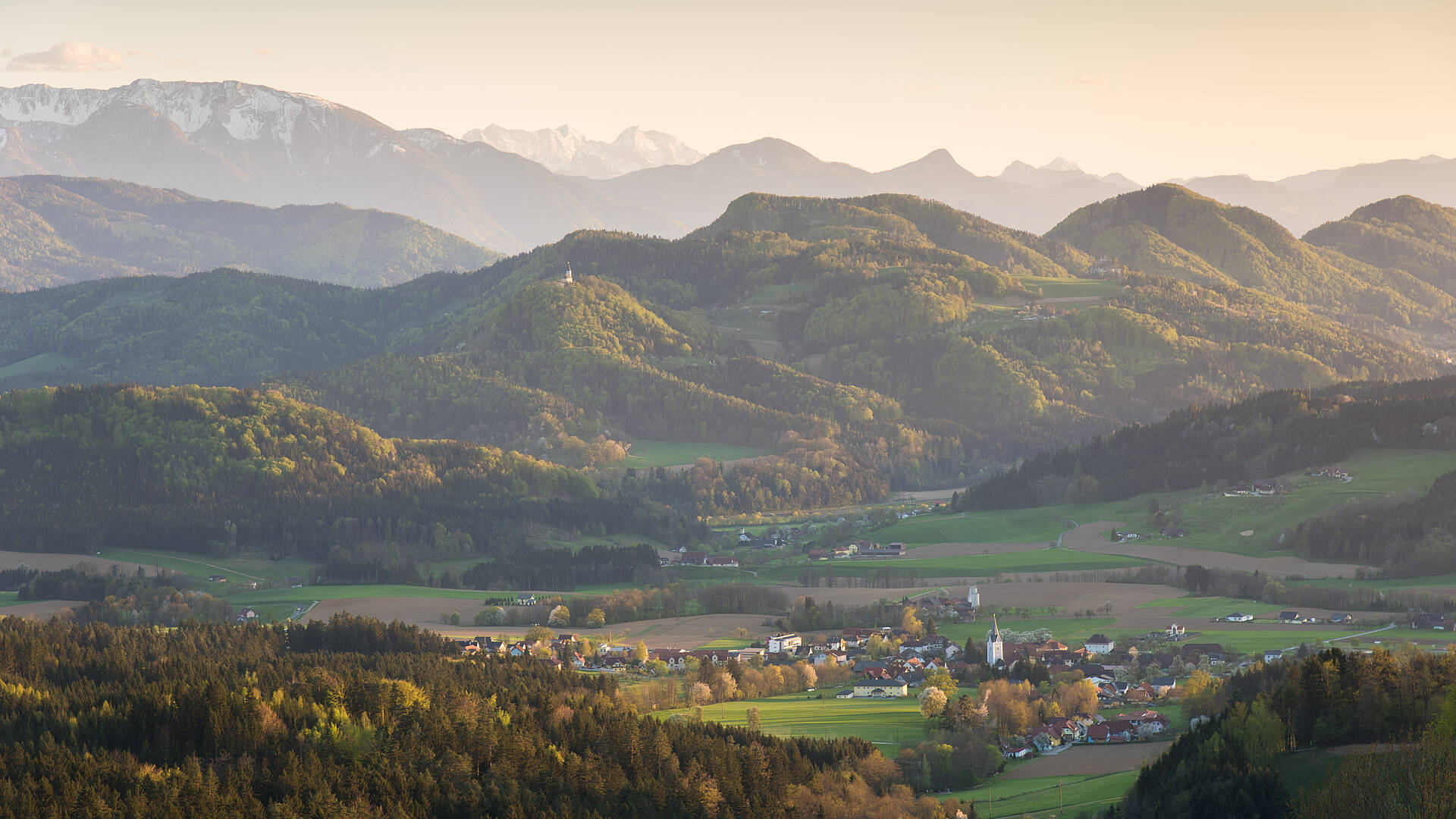
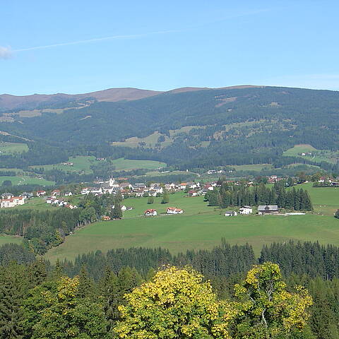
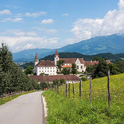
The region is located in Carinthia’s east, imbedded between the two mountains Koralpe and Saualpe and covers an area of 973 km².
The Lavanttal’s scenery is one of the most charming ones in the area of Austria’s south and is characterized by favourable climatic conditions.
The skiing regions Koralpe, Klippitztörl, and Weinebene offer a wide range of winter activities.
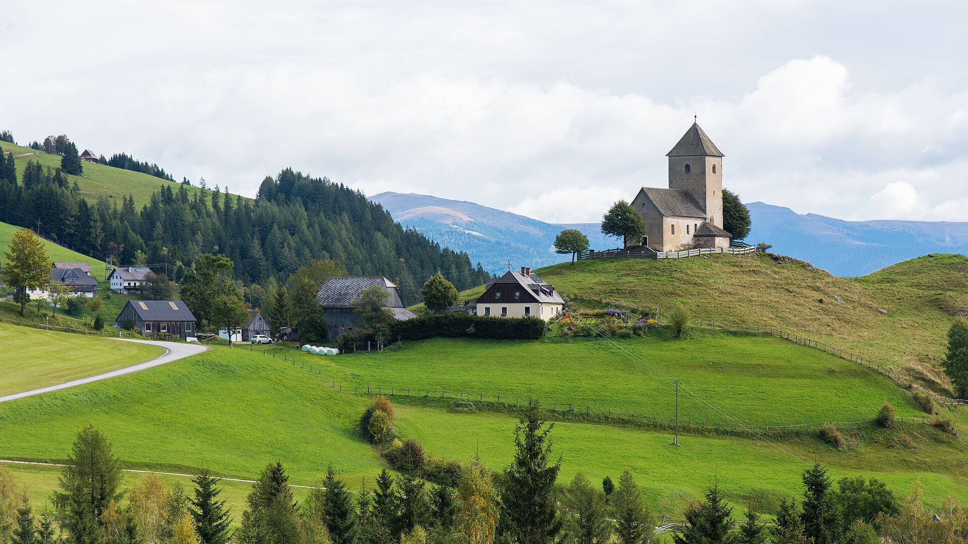
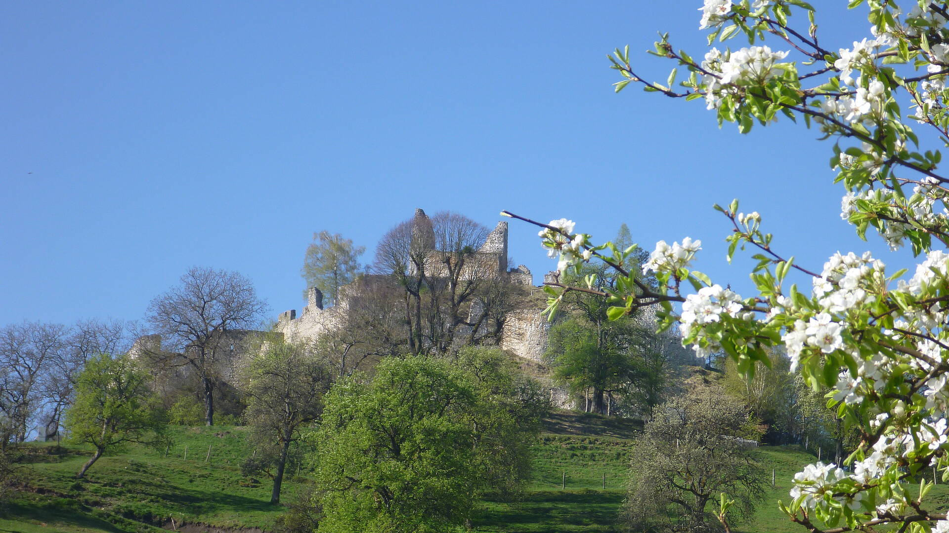
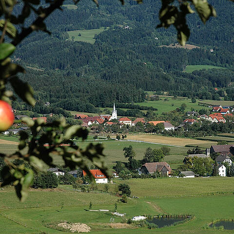
Numerous orchards dominate the landscape - a great experience in autumn when the scent of thousands of fruit trees is in the air. In the ‘hikeable’ Lavanttal more than 1000 kilometres of marked hiking trails lead to the Koralpe, Weinebene, Saualpe and Klippitztörl up to 2100 m above sea level.
People who are interested in any kinds of sports will enjoy outdoor swimming pools and lakes as well as family-friendly bike paths (about 220 km), mountain bike tours (about 350 km) and bridle paths just as any other types of sports. All this contributes to a multi-faceted stay.
